Trail Ridge Road Current Conditions & Weather
Road status: CLOSED to through travel for the winter season (checked 18 November 2026)
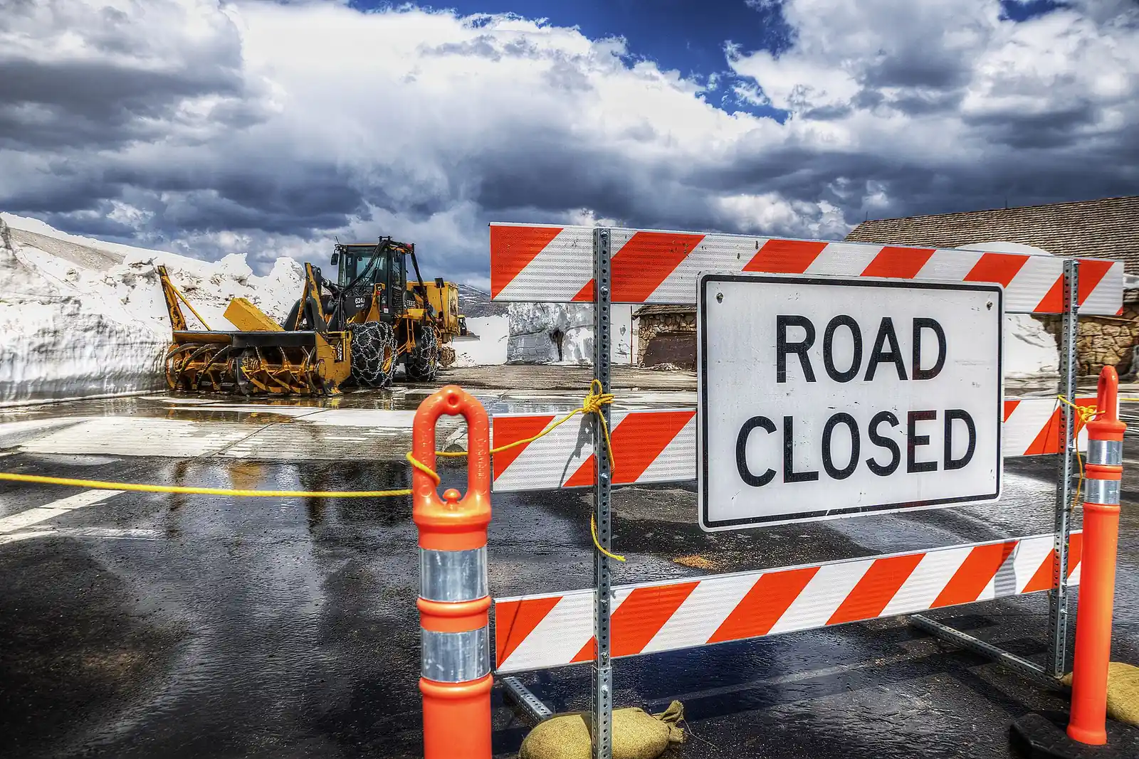
Trail Ridge Road is closed to through travel between Many Parks Curve on the east side of Rocky Mountain National Park and Colorado River Trailhead on the west side.
The closure is weather-driven, not construction. A weather closure had shut the road at 5 p.m. on Friday 23 October 2026, on a forecast of snow, low visibility and freezing temperatures at higher elevations, and the park closed it to through travel for the winter season on Friday 13 November 2026. The park has announced no reopening date; the road typically reopens to through travel during the last week of May, weather permitting.
What is still open: from Estes Park you can drive as far as Many Parks Curve; from the Grand Lake entrance, as far as Colorado River Trailhead. Everything below those gates is unaffected, including Bear Lake Road and both gateway towns. Old Fall River Road is closed to vehicles for the season; the park reopens it to bicycles, leashed pets and walkers for the winter.
The live check: call (970) 586-1222, the park's recorded status line, available 24 hours a day. The park's road page does carry a status sentence, but it warns that conditions change quickly and that road-status updates are not posted on the website — the recording is the authoritative check.
Status checked: 18 November 2026, against nps.gov/romo.
Everything below is written for the day you travel: the contacts to save, the forecast that actually applies at each elevation, the hazards that turn a scenic drive into a bad afternoon, the equipment the park can require of you, and how the season decides when the gates open and close.
Emergency contacts
Save these before you leave the pavement
- Emergency: 911. Estes Park's dispatch center, which takes park calls after hours, also accepts Text-to-911 if you cannot speak.
- Park emergency line: (970) 586-1399 — the number the Town of Estes Park lists for Rocky Mountain National Park.
- Road status, recorded, 24 hours: (970) 586-1222
- Park visitor information: (970) 586-1206 — 8 a.m. to 4 p.m. daily in summer; in winter, 8 a.m. to 4 p.m. Monday to Friday and 8 a.m. to noon on weekends.
- National Weather Service, Denver/Boulder recorded forecast: (303) 494-4221
- Towing and roadside assistance: the park publishes no towing number for the road, so save your own provider's before you leave town — and call 911 if you are stopped in a travel lane.
Cell service is patchy to non-existent above treeline. Download an offline map, and tell someone your route and expected return time before you start up.
Forecast by elevation zone
No page can tell you today's temperature on the high route — it changes faster than a page can be edited. What you can do is read the forecast for the elevation you will actually be at. The drive starts at park entrances 8,280 feet up on the Estes Park side and 8,715 feet up at Grand Lake, and reaches a high point of 12,183 feet — almost 4,000 feet of climbing — and temperature falls with height, so a mild morning in town says very little about the tundra.
Table — which zone you are in, and where its forecast lives:
| Elevation zone | Typical elevation | Where to check |
|---|---|---|
| Valley floor | About 8,000 ft | National Weather Service point forecast for Estes Park or Grand Lake |
| Treeline | About 11,000 ft | National Weather Service point forecast for the road above treeline |
| Summit | 11,796-12,183 ft | The same NWS forecast, plus the park's Alpine Visitor Center webcam to see what the top actually looks like |
Three things to keep in mind when you read those numbers:
- A forecast is for a grid cell, not for a switchback. Eleven miles of this road run above treeline, and it crosses the Continental Divide at Milner Pass (10,758 ft). Wind and cloud on the ground can differ from the number on the screen.
- Rain below often means snow above. The park closes the road on exactly that forecast — snow, low visibility and freezing temperatures at higher elevations — which is what happened on 23 October 2026.
- The top can shut while the road is open. Alpine Visitor Center sits at 11,796 ft, the highest visitor center in the National Park System, and the park says it can close temporarily at any time for weather.
Live camera views, the full list of park and CDOT cameras and the weather stations behind them are on our Trail Ridge Road webcam and weather guide.
Hazards on the high route
The park's own advice for this road is to be prepared for sun, strong winds, blowing snow and icy roads at any time, and to expect temporary closures whenever conditions turn. None of these hazards is exotic. What makes them dangerous is that they arrive faster than a valley forecast suggests.
⚡ Lightning
Above treeline you are the tallest object on the tundra, and summer storms build through the afternoon rather than at a convenient hour. The National Weather Service rule is the one to follow: when thunder roars, go indoors. A hard-topped vehicle counts as indoors; a convertible does not. Leave the summit at the first thunder rather than the first flash, and wait 30 minutes after the last thunder before going back out.
🌬 Wind
Wind is the normal condition above 11,000 feet, not an exception — the park lists strong winds alongside snow and ice as something to expect at any time. It moves high-profile vehicles, it slams doors on fingers, and on two wheels it is the reason to turn around rather than press on. Check the point forecast and any high wind warning before you commit to the summit stretch.
❄ Cold
The top runs far colder than the town you left, and cloud cover changes it within minutes. Carry a shell, a hat and gloves even in July, and treat the park's closure notices — which cite freezing temperatures at elevation — as the routine case rather than the extreme one.
Turn around when
- There is ice on the roadway, or slush freezing in the shaded switchbacks
- Snow is falling and no plow has been through
- You cannot see the next pullout, let alone the next curve
- The wind is pushing the vehicle off its line
- You hear thunder
- Anything on the dashboard is telling you the car is unhappy
And once the gates are closed, they are closed. The barriers at Many Parks Curve and Colorado River Trailhead are not a suggestion, and driving around them puts you on a road the park is not maintaining.
Vehicle requirements and equipment
Traction: the law is conditional, not year-round
Rocky Mountain National Park enforces the Colorado Vehicle Traction Law under 36 CFR 4.2(b), and the park says it may become active at any time, based on weather and road conditions. When it is active, every vehicle — four-wheel drive and all-wheel drive included — needs tires rated Mud and Snow, Mountain and Snow or All-Weather, with at least 3/16 inch of tread. If your tires are not rated, you must use an approved traction device: chains, cables, tire socks or studded tires. While the law is active, a vehicle that crashes or slides off on ice is cited for not meeting it. Read that as conditional, not as a year-round equipment mandate — and not as a substitute for checking the status line.
Length and weight: the park publishes no road limit
There is no published length limit and no published weight limit for Trail Ridge Road, so be skeptical of any page that quotes one. The single length rule in this corridor belongs to a different road: Old Fall River Road, the unpaved one-way uphill route that joins Trail Ridge Road at Fall River Pass, prohibits vehicles over 25 feet and any vehicle pulling a trailer or towing another vehicle. Campground limits — 30 feet at Timber Creek and Aspenglen, 40 feet at Moraine Park — are campsite rules and say nothing about the highway.
That does not make the road generous to long vehicles. The pullouts are short, the switchbacks are tight and traffic backs up behind anything slow. In a large RV or with a trailer, drive it in daylight, use the developed lots at Forest Canyon and Alpine Visitor Center, and turn around rather than stopping on the shoulder.
Before you climb
- Brakes and gears: the descent is harder on a vehicle than the climb. Use a low gear and let the engine hold the speed instead of riding the brakes.
- Fuel: there is no fuel on the 48 miles, so fill up in Estes Park or Grand Lake.
- Cooling: a sustained climb at altitude is where a marginal cooling system shows itself. Check the coolant and the hoses before you start.
- Layers, water and food: enough to sit out a closure in a cold car for a few hours, not just for the drive.
- Offline maps and a charged phone: coverage above treeline is unreliable, and the phone is your emergency line.
How the vehicle behaves at 12,000 feet — and how you do — is covered in our high-altitude driving safety guide.
Seasonal pattern: when the road opens and closes
Trail Ridge Road is a seasonal road. The park describes it as closed to through travel from mid-October to late May, weather permitting, and the exact dates move every year. That is why "is it open?" gets a different answer each October.
| Season milestone | Date |
|---|---|
| 2026 opened to through travel | Friday 29 May 2026 |
| 2026 through travel ended (weather closure) | 5 p.m. Friday 23 October 2026 |
| 2026 winter season closure | Friday 13 November 2026 |
| Average winter closure date | 23 October |
| Earliest recorded opening | 7 May 2002 |
| Latest recorded opening | 26 June 1943 |
🌱 Spring: the plows set the date
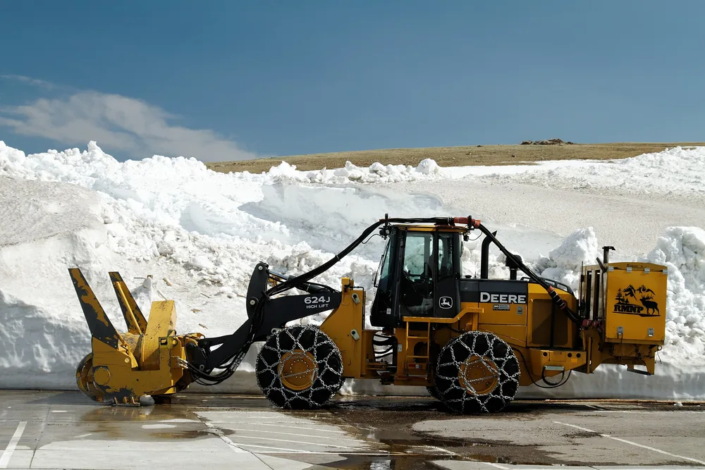
Snow removal normally begins in mid-April, working in from both sides of the park. The park's own figures for what the crews cut through: drifts of 18 to 22 feet are normal, drifts at Rock Cut have run to 22 feet, and above 20 to 25 feet the crew puts a caterpillar on top of the drift; the rotary blower cuts to about 21 feet. A wet, late spring pushes opening into June, which is how 1943 ended up at 26 June. In 2026 the road opened on Friday 29 May.
🍂 Autumn: the closure can arrive in an afternoon
The autumn closure is triggered by sustained freezing temperatures and snow, and the park's long-run average is 23 October. The variation is wide: the road stayed open until 14 November in 2025 and closed to through travel on 23 October 2026, with the winter-season closure declared on 13 November 2026. The gates are always the same pair — Many Parks Curve on the east side and Colorado River Trailhead on the west.
❄ Winter: what stays open
Below the gates the road keeps working. From Estes Park you can drive to Many Parks Curve, from Grand Lake to Colorado River Trailhead, and the closed stretch becomes a corridor for snowshoers, cross-country skiers and, on Old Fall River Road, bicycles, leashed pets and walkers. The snowshoe and ski routes are set out route by route in our snowshoe and ski route guide. Winter access, what is running and where to stay are on our winter activities guide.
Where to go next
- Webcam and weather guide — every park and CDOT camera, and the weather stations behind them.
- Trail Ridge Road safety guide — preparation, altitude, the lightning protocol, the checklists and the emergency plan.
- When Trail Ridge Road opens — the season dates, the opening history and timed entry.
- Seasonal guide — what the road is like month by month.