Trail Ridge Road Lookout Points: Complete Guide to Scenic Stops & Viewpoints
📍 Access Status (checked 18 November 2026)
The high-route lookouts are closed to through travel for the winter. The road is closed between Many Parks Curve on the east side and Colorado River Trailhead on the west side, so every stop above Many Parks Curve — Rainbow Curve, Forest Canyon Overlook, Rock Cut, Alpine Visitor Center, the Gore Range Overlook and the western stops from Farview Curve to Milner Pass — is out of reach by car.
Still open: Sheep Lakes (Mile 2) and Many Parks Curve (Mile 9) from Estes Park, and from the Grand Lake entrance you can drive as far as Colorado River Trailhead.
2026 season: the full route opened to through travel on 29 May 2026; a weather closure shut it at 5 p.m. on 23 October 2026, and the park closed it for the winter season on Friday 13 November 2026. No reopening date has been announced.
Status line: call (970) 586-1222 — recorded, 24 hours a day.
Timed entry: in season (22 May – 12 October 2026) a timed entry reservation was required 9 a.m.–2 p.m. daily. It is not in effect now.
Trail Ridge Road offers an unparalleled collection of scenic viewpoints and lookout points, each providing unique perspectives of the Rocky Mountains, alpine tundra, and diverse ecosystems. This guide details every major scenic stop along the 48-mile route, with access information, elevation data, and photography tips. If you would rather plan the through-drive around these stops, the through-drive page puts them in driving order with the distance from each end of the road.
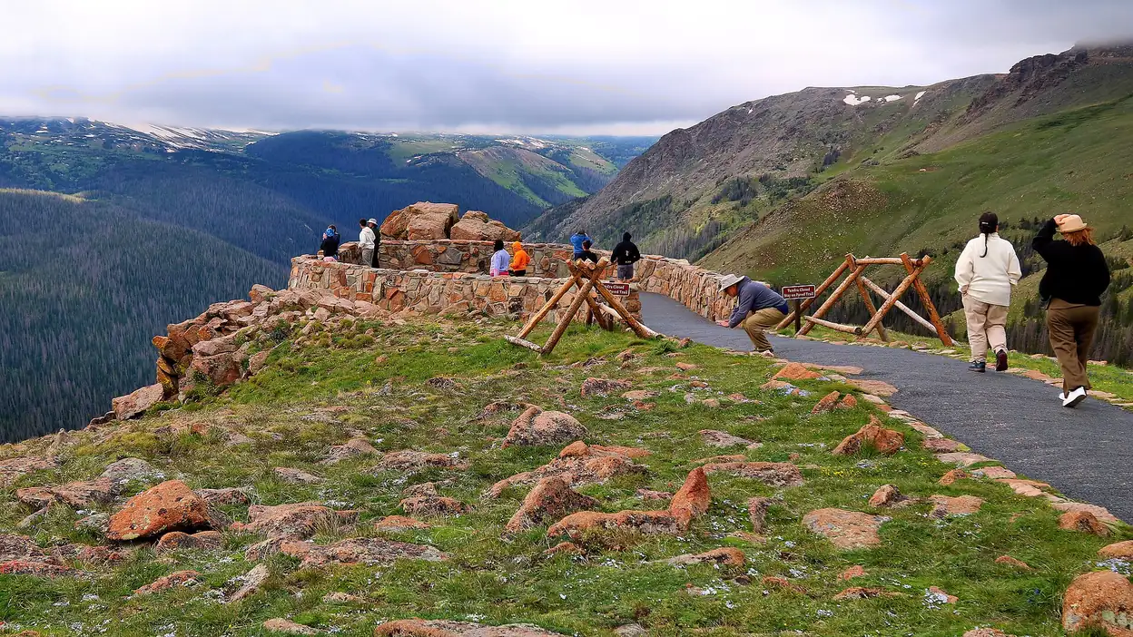
📍 GPS Coordinates for Trail Ridge Road Lookout Points
🗺️ Essential GPS Navigation Points
Important: Save these coordinates to your GPS device or smartphone before departing, as cell service is limited above treeline.
| Lookout Point | GPS Coordinates | Elevation | Mile Marker |
|---|---|---|---|
| Sheep Lakes | 40.3569°N, -105.6046°W | 8,200 ft | Mile 2 |
| Many Parks Curve | 40.3685°N, -105.6292°W | 9,640 ft | Mile 9 |
| Rainbow Curve | 40.3847°N, -105.6751°W | 10,829 ft | Mile 12 |
| Forest Canyon Overlook | 40.4008°N, -105.7156°W | 11,716 ft | Mile 16 |
| Rock Cut | 40.4319°N, -105.7781°W | 12,110 ft | Mile 20 |
| Alpine Visitor Center | 40.4495°N, -105.8175°W | 11,796 ft | Mile 23 |
| Gore Range Overlook | 40.4583°N, -105.8447°W | 11,827 ft | Mile 25 |
| Farview Curve | 40.4781°N, -105.8985°W | 11,640 ft | Mile 32 |
| Milner Pass | 40.4847°N, -105.9176°W | 10,758 ft | Mile 35 |
📱 GPS Navigation Tips
- Download Offline Maps: Cell service is unreliable above 11,000 feet
- Use Decimal Degrees: Format shown above works with all GPS devices
- Backup Navigation: Bring paper maps as GPS satellites can be blocked by peaks
- Battery Conservation: GPS drains batteries quickly in cold mountain weather
- Accuracy Note: GPS accuracy can vary ±10-30 feet in mountain terrain
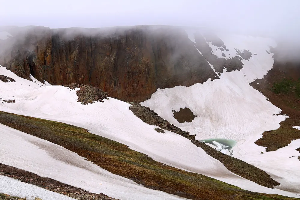
Eastern Approach: Spectacular Viewpoints from Estes Park
Lower Elevation Scenic Stops (8,000 - 10,000 feet)
🦬 Sheep Lakes (Mile 2, Elevation: 8,200 feet)
Best Known For: Prime bighorn sheep viewing location
What You'll See: Rocky Mountain bighorn sheep come to these natural salt licks, especially during spring and early summer. The mineral-rich water attracts these magnificent animals, making this one of the most reliable wildlife viewing spots in the park.
Best Viewing Times: Early morning (6-8 AM) and late afternoon (5-7 PM)
Photography Tips: Bring a telephoto lens (200-400mm) and maintain the required 75-foot distance from wildlife
Facilities: Parking pullouts, interpretive signs
Access: Open year-round. Sheep Lakes sits below the Many Parks Curve winter gate, so you can reach it by car in any season.
🏔️ Many Parks Curve (Mile 9, Elevation: 9,640 feet)
Best Known For: Sweeping views of multiple park valleys and the Mummy Range
What You'll See: This aptly named viewpoint offers panoramic views of Horseshoe Park, Moraine Park, and other valleys that make up Rocky Mountain National Park. On clear days, you can see all the way to the Front Range plains.
Scenic Features:
- Expansive valley views below
- Mummy Range to the north
- Front Range foothills extending eastward
- Best sunrise photography location on Trail Ridge Road
Best Photography Times: Sunrise (6:30-7:30 AM) for golden valley lighting
Facilities: Large parking area, stone retaining wall for safety, interpretive displays
Winter Access: Often accessible even when upper Trail Ridge Road is closed
🌈 Rainbow Curve (Mile 10, Elevation: 10,829 feet)
Best Known For: Frequent rainbow sightings and spectacular sunset views
What You'll See: Named for the rainbows frequently visible from this location during afternoon thunderstorms, Rainbow Curve provides stunning views of the Front Range and Estes Valley. This is one of the premier sunset viewing locations on Trail Ridge Road.
Unique Features:
- Rainbows visible during and after storms
- Unobstructed views of city lights at night
- 360-degree mountain vistas
- Popular stargazing location
Best Times to Visit:
- Sunset: 1-2 hours before sunset for golden hour lighting
- Storm Watching: During and immediately after afternoon thunderstorms
- Night Photography: Clear, moonless nights for star photography
Photography Equipment: Wide-angle lens for expansive views, tripod for night photography
Facilities: Parking pullouts, stone wall, winter gate location
High Alpine Viewpoints (11,000+ feet)
🏔️ Forest Canyon Overlook (Mile 16, Elevation: 11,716 feet)
Best Known For: Dramatic views into the deep Forest Canyon and wildlife viewing
What You'll See: This overlook provides views into the 2,000-foot-deep Forest Canyon, one of the most dramatic geological features in Rocky Mountain National Park. The overlook offers excellent opportunities to spot yellow-bellied marmots on the surrounding rocks.
Geological Features:
- Deep glacially-carved canyon
- Exposed granite walls
- Distant peaks of the Continental Divide
- Alpine tundra ecosystem display
Wildlife Viewing:
- Yellow-bellied Marmots: Often seen sunning on rocks
- Pikas: Listen for their distinctive calls among the rocks
- White-tailed Ptarmigan: Rare sightings of Colorado's state bird
Safety Considerations: Steep cliffs with 200+ foot drops - supervise children closely
Best Photography: Mid-morning (9-11 AM) for best canyon lighting
Facilities: Parking area, stone safety barriers, interpretive signs
⛰️ Rock Cut (Mile 20, Elevation: 12,110 feet)
Best Known For: Highest viewpoint and access to Tundra Communities Trail
What You'll See: Rock Cut represents the highest easily accessible viewpoint on Trail Ridge Road, offering 360-degree views of the surrounding peaks and access to the famous Tundra Communities Trail. This location provides the quintessential alpine tundra experience.
Spectacular Views Include:
- Longs Peak (14,259 feet) to the southeast
- Never Summer Mountains to the west
- Mummy Range to the north
- Endless expanse of alpine tundra
Tundra Communities Trail:
- Distance: 1-mile round trip
- Difficulty: Easy but high altitude
- Features: Alpine wildflowers, cushion plants, interpretive signs
- Best Time: Late June through August for wildflowers
High Altitude Considerations:
- Oxygen levels 40% lower than sea level
- Weather changes rapidly - dress in layers
- Extreme UV exposure - use sunscreen and sunglasses
- Lightning danger during afternoon storms
Photography Opportunities:
- Sunrise: Alpenglow on distant peaks
- Macro: Alpine wildflowers and plants
- Landscape: Wide-angle views of endless mountains
Facilities: Large parking area, restroom facilities, trail access
Central High Point: Alpine Visitor Center
🏛️ Alpine Visitor Center (Mile 23, Elevation: 11,796 feet)
Best Known For: Highest visitor center in the National Park Service
What You'll See: The Alpine Visitor Center serves as the crown jewel of Trail Ridge Road, providing indoor exhibits about alpine ecosystems while offering spectacular outdoor viewing opportunities. This is the only location along Trail Ridge Road with restroom facilities, food service, and gift shop.
Indoor Facilities (Summer Only):
- Exhibits: Alpine ecosystem displays, wildlife dioramas
- Gift Shop: Books, maps, souvenirs, clothing
- Snack Bar: Light refreshments, hot drinks
- Restrooms: Full facilities including accessibility features
Outdoor Viewing Areas:
- Protected viewing platforms
- 360-degree mountain vistas
- Interpretive displays about geology and ecology
- Access to short alpine walks
Educational Opportunities:
- Ranger-led programs (summer only)
- Self-guided nature walks
- Junior Ranger activities for children
- Photography workshops (check schedule)
Season: Open in summer only, while Trail Ridge Road is open to through travel. In winter the visitor center sits beyond the closure and cannot be reached by car.
Accessibility: ADA-compliant facilities and viewing areas
Weather Shelter: Heated building provides refuge during sudden weather changes
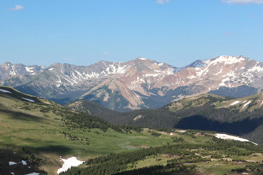
Western Approach: Grand Lake to Continental Divide
Kawuneeche Valley Scenic Stops
🌲 Kawuneeche Valley Viewpoints (Miles 25-30, Elevation: 8,400-9,000 feet)
Best Known For: Moose viewing and Colorado River headwaters
What You'll See: The Kawuneeche Valley offers a completely different landscape experience from the eastern approach, featuring broad meadows, meandering streams, and excellent wildlife viewing opportunities in a more gentle mountain setting.
Prime Wildlife Viewing Locations:
- Kawuneeche Valley Pullouts: Multiple roadside viewing areas
- Colorado River Overlooks: Stream viewing and beaver activity
- Meadow Viewing Areas: Open grasslands perfect for spotting large mammals
Wildlife You May See:
- Moose: Most active at dawn and dusk, often near water
- Elk: Large herds, especially during fall rutting season
- Mule Deer: Common throughout the valley
- Coyotes: Occasionally visible in open meadows
- Beavers: Evidence of activity along streams
Best Wildlife Viewing Times:
- Dawn: 5:30-7:30 AM (peak activity period)
- Dusk: 6:00-8:00 PM (second peak activity period)
- Fall Season: September-October for elk rutting behavior
Photography Tips:
- Use telephoto lenses for wildlife (400mm+ recommended)
- Maintain safe distances (100 yards from moose, 75 feet from elk)
- Early morning light provides best conditions
- Include landscape context for storytelling photos
Continental Divide Viewpoints
🏔️ Milner Pass (Mile 42, Elevation: 10,759 feet)
Best Known For: Continental Divide crossing and transition between ecosystems
What You'll See: Milner Pass marks the Continental Divide, where water flowing east eventually reaches the Atlantic Ocean, while water flowing west reaches the Pacific. This location offers unique educational opportunities and scenic views.
Educational Features:
- Continental Divide interpretive displays
- Watershed explanation exhibits
- Ecosystem transition demonstrations
- Historical information about the pass
Scenic Highlights:
- Views of both eastern and western slopes
- Subalpine forest ecosystems
- Poudre Lake access
- Never Summer Mountains vistas
Nearby Attractions:
- Poudre Lake: Small alpine lake, easy walk
- Lake Irene: Larger lake with picnic facilities
- Hiking Trail Access: Multiple trail options
Facilities: Parking area, interpretive signs, picnic tables
🏞️ Lake Irene (Mile 38, Elevation: 10,700 feet)
Best Known For: Peaceful alpine lake with picnic facilities and easy hiking access
What You'll See: Lake Irene provides a serene alpine lake experience with stunning reflections of surrounding peaks and easy accessibility for families. This location offers some of the best picnic opportunities along Trail Ridge Road.
Lake Features:
- Crystal-clear alpine waters
- Perfect mountain reflections
- Surrounding subalpine forest
- Wildlife viewing opportunities
Recreation Opportunities:
- Picnicking: Tables with mountain views
- Photography: Reflection shots and landscape photography
- Short Walks: Easy paths around the lake area
- Nature Observation: Bird watching and plant identification
Best Photography Times:
- Early Morning: Calm water for perfect reflections
- Late Afternoon: Warm lighting on surrounding peaks
- Overcast Days: Soft, even lighting for landscape photography
Facilities: Picnic tables, vault toilets, parking area, interpretive signs
Accessibility: Easy access from parking, suitable for families
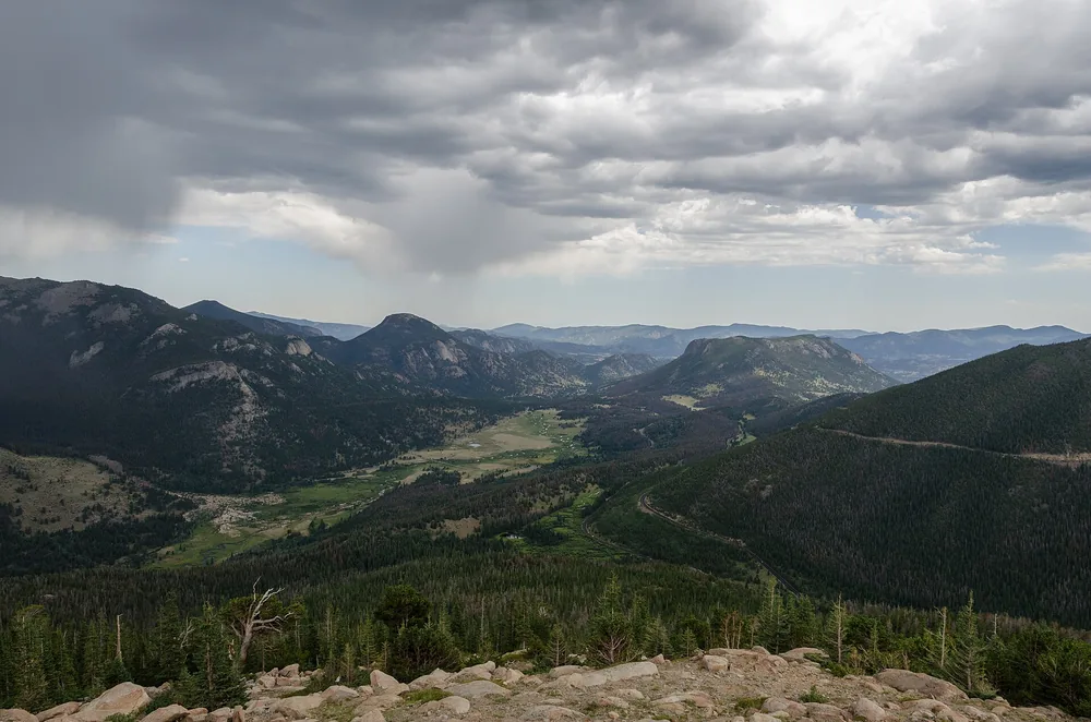
Related Trail Ridge Road Resources
Enhance your lookout point experience with these additional guides:
- Interactive Trail Ridge Road Map - Detailed route planning with mile markers
- Current Road Conditions & Weather - Real-time updates for safe travel
- Complete Seasonal Driving Guide - Comprehensive planning information
- Accommodation & Dining Guide - Where to stay and eat near Trail Ridge Road
For current road conditions and lookout point accessibility, always call (970) 586-1222 before beginning your journey.